Preligens launches ZEBRA, a new AI mapping solution

By Preligens
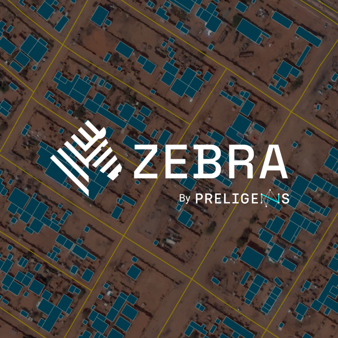
ZEBRA, the new artificial intelligence cartography solution by Preligens
Preligens, a pioneer in artificial intelligence solutions for the defense sector, launches ZEBRA, a unique AI-solution that can map roads and buildings from satellite images in record time. This new product completes the historical product of Preligens : ROBIN, a software that allows the automatic detection of objects of interest on satellite images by artificial intelligence.
Combining two new detectors to map unknown areas in record time
By combining two powerful new detectors - the Road Detector and the Building Detector - with vectorization modules, this solution enables rapid mapping of urban, desert and sparse infrastructure areas of operation and provides valuable operational intelligence. Within minutes, Preligens' algorithms detect and plot roads and infrastructure on the provided satellite image.
While manual mapping operations can take analysts days to complete, ZEBRA makes it possible to obtain an accurate operational map in minutes and identify roads and infrastructure over broad areas, including those that have never been mapped. This new solution saves valuable time for decision making and effective action. With this new product, the time to process an image is reduced by hours. Operational experts estimate that this tool saves them about 60% of processing time; a precious gain that allows them to focus their expertise on the most important elements.
Unique product capabilities
Besides rapid mapping, ZEBRA can also respond to urgent needs in areas undergoing sudden changes (for example, after natural disasters) to speed up the deployment of relief efforts..
ZEBRA also facilitates change detection over your areas of interest. By comparing two images, the algorithm highlights and qualifies the changes in Geographic Information System (GIS) software.
The output data provided by ZEBRA also makes it possible to rapidly identify detailed feature information at a glance (road widths, lane distance, number of buildings in a defined area, built-up area, etc.).
A modular solution designed and adapted for operational use
ZEBRA’s function is to quickly translate a satellite image into a map in order to speed up and facilitate the work of the operator who can then concentrate on the associated analytical tasks where their skills can be best utilised.
Configurable, scalable and modular to the required usage, this new combat-proven solution meets the needs and constraints of the most demanding organizations and operators. The software can be deployed in the cloud or on premise, leveraging commercial or sovereign imaging data.